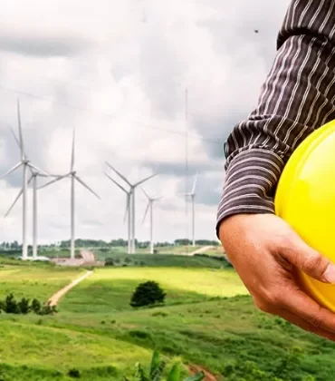
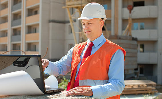
BIM Consultancy Services
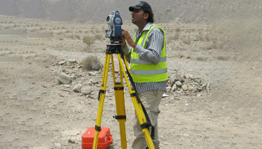

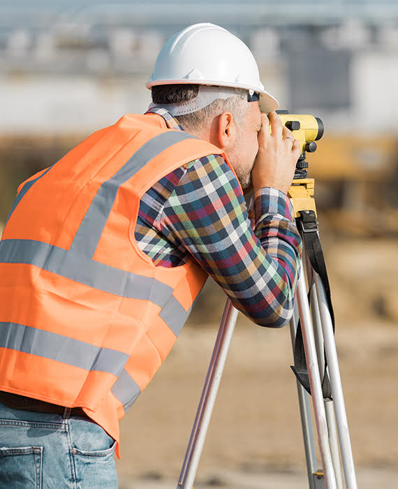
Measured Building Surveys

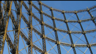
Construction Verification


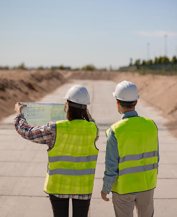
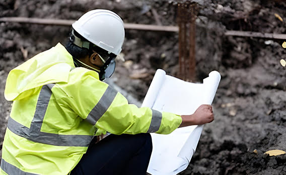
Surveys for Planning
Accurate Visual Representation


Environmental Planning Services
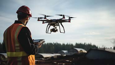
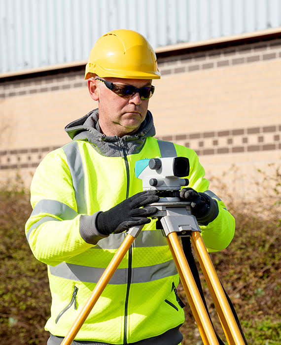
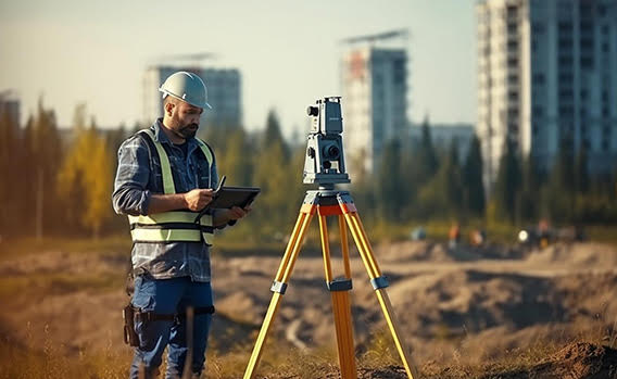
Infrastructure Surveys
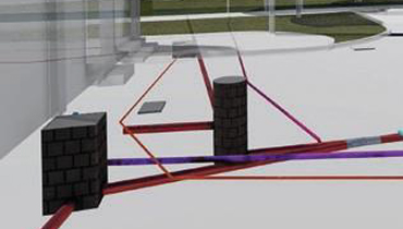
Underground Utilities Mapping
Urban Regeneration Services & Consultancy

Structural & Environmental Monitoring

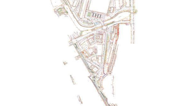
GIS Services
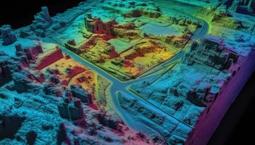
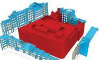
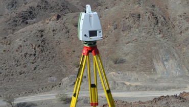
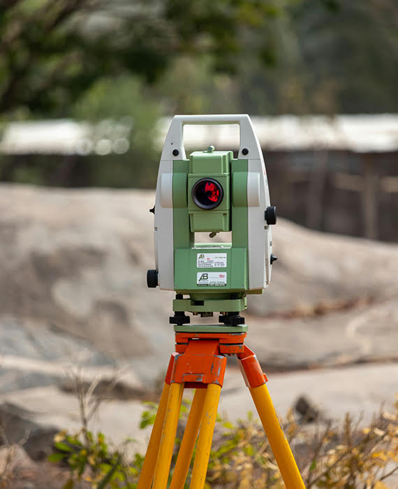
Laser Scanning and LiDAR Surveys
Emergency Response Mapping
Emergency Response Mapping

Project Description
Create a system for real-time mapping during emergencies (e.g., natural disasters, accidents). Collect geospatial data from various sources (e.g., social media, sensors). Use GIS tools to visualize and analyze the data. Implement algorithms to identify affected areas, evacuation routes, and resource allocation. Consider open-source tools like GeoServer for sharing geospatial data.
Land Use Classification
Land Use Classification

Project Description
Obtain geospatial data from satellite images. The goal is to determine whether a given pixel in a satellite image corresponds to land or not using machine learning or deep learning algorithms. Perform exploratory data analysis to understand the data. Use clustering algorithms (such as K-Means) to group similar land images.
Geographic Change Detection
DGeographic Change Detection

Project Description
Analyze changes in land cover over time. Classify pixels in different images into four classes: Vegetation, Bare Soil, Urban, and Water. Use the random forest algorithm for classification..
Urban Planning with Computer Vision
Urban Planning with Computer Vision
Project Description
Explore geospatial datasets for urban areas. Develop computer vision models to identify urban features (e.g., roads, buildings, parks) from satellite imagery. Use convolutional neural networks (CNNs) for feature extraction. Apply object detection techniques to locate specific urban elements..
Dani T.
Chief Technical Officer (CTO)
Khalil R.
Senior Project Manager
Sameer T.
Lead Surveyor
Feras A.

Samer F.

Akram T.

Aisha Kh.

Samer F.
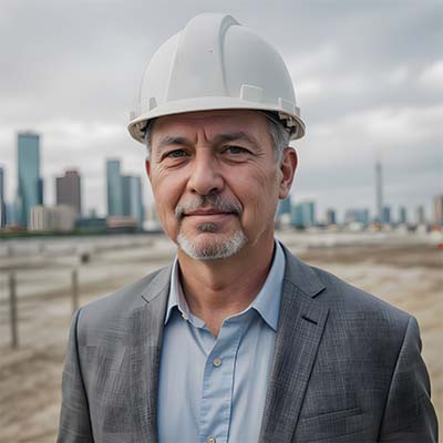
(CEO & Engineer)
Feras A.
(Construction Worker)
Akram T.
(Architect)
Aisha Kh.
(Senior Environmental Engineer)
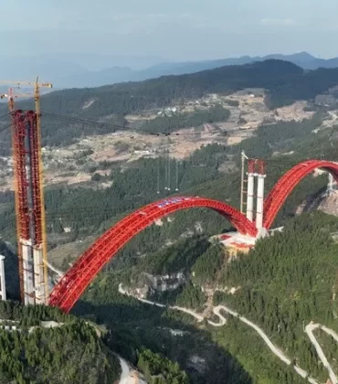
How Geography Shapes Construction Engineering
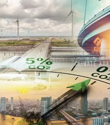
The role of engineers in climate change